
 Science
NASA’s new glacier study updates a sea-level estimate
From NASA Science
The story
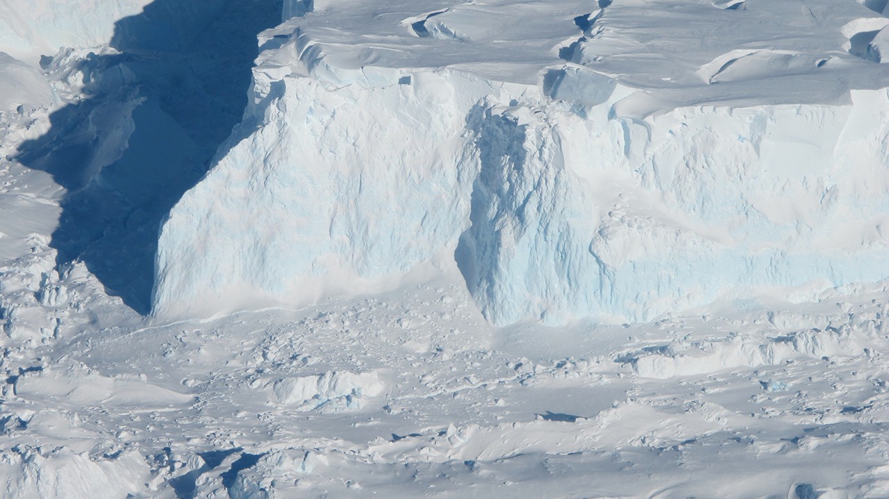
Scientists have taken a closer look at how Antarctica’s Thwaites Glacier could affect sea levels. A new study suggests that its contribution by the end of this century could be larger than some earlier estimates. In some computer simulations, that contribution was up to twice as large. This is a possible outcome from a model, not a prediction that it will definitely happen.
A glacier is a huge body of ice that moves slowly. Thwaites is important because changes there already contribute to rising seas. Scientists want to understand how it may change over many years. That is difficult: ice, seawater, the land underneath, and tides all interact, and a computer model has to represent those processes carefully.
The new work focuses on a particular place beneath the glacier. Farther inland, ice rests on the ground. Closer to the ocean, some ice floats. The area between those two situations matters because seawater can reach beneath ice that is still partly supported by the land. What happens there can influence how the glacier retreats.
Many models have treated the change from grounded ice to floating ice as a clear boundary, called a grounding line. The researchers instead represented a wider grounding zone. Thinking of a zone means allowing for an area where conditions vary, rather than imagining one neat line dividing ice that rests on land from ice that floats.
Why does that difference matter? Seawater can push several miles beneath grounded ice. As tides rise and fall, water can lift the ice and create instability. Warmer seawater reaching underneath can also increase melting. Including these movements gives the model another way for the glacier to change that a simple boundary does not fully capture.
To check their approach, the researchers compared their model with satellite observations going back to the 1990s. NASA reports that the version including grounding zones matched the history of glacier retreat four times more closely than models without that factor. Testing against changes that have already happened helps scientists judge whether a model represents important processes well.
That does not make the model a crystal ball. A better match with past observations is useful evidence, but future conditions and complicated ice behavior still bring uncertainty. The result about twice the sea-level contribution came from some simulations. It does not mean that all estimates doubled, or that the whole ocean will rise twice as much.
The model was developed by NASA’s Jet Propulsion Laboratory with the University of California, Irvine, and Dartmouth College. Their study was published in Nature Communications. The researchers hope that representing the grounding zone more realistically will provide better information about glacier behavior for coastal regions affected by rising seas.
For readers, the key is to notice both parts of the news. Scientists found a process that may make this glacier’s future contribution larger, and they improved how closely their model follows past measurements. Neither point gives an exact forecast for one town or beach. Careful research helps people prepare by improving the evidence, while being honest about what remains uncertain.
Why it matters
Better estimates help people understand how changing ice could affect coastlines. Scientists use many models and keep improving them as they learn more about the glacier.
Words to know
- glacier
- A huge, slow-moving river of ice.
- projection
- A careful estimate about what may happen later.
- coastline
- The place where land meets the sea.
Newsie explains the reporting in simpler words. The original source has the full report.